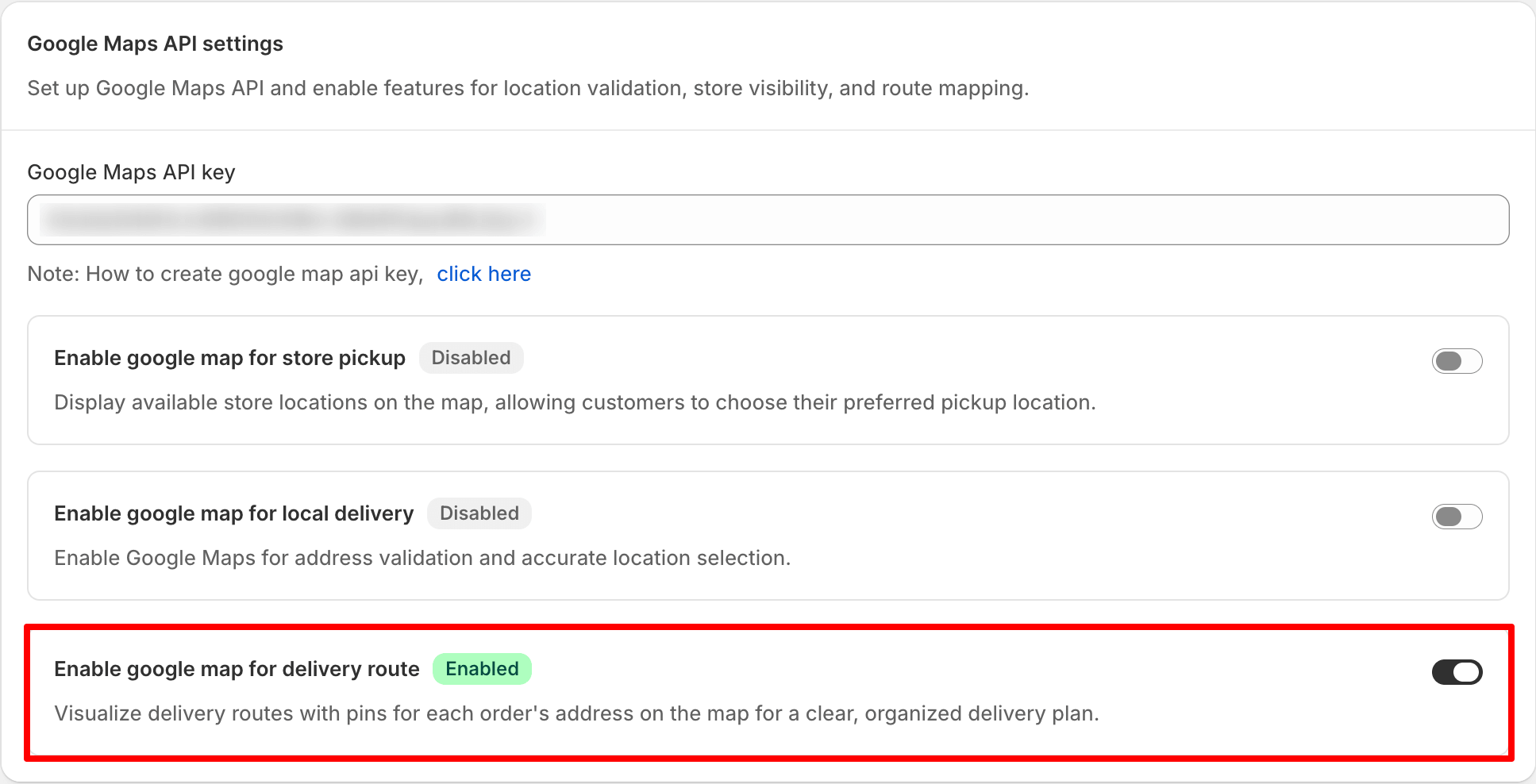

Google Maps API settings allow you to integrate three essential features into your store: store pickup maps, local delivery radius checks, and delivery route planning. By following the steps outlined, you can easily access these settings and understand how to utilize the Google Maps services effectively within your store. To set up the Google Maps API, log in to your Shopify admin, navigate to the Delivery & Pickup app, and locate the Google Map App Settings.
You must first enter a valid Google Maps API key, which activates the features. Once the key is added, you can enable specific toggles for store pickup, local delivery, and delivery routes, allowing customers to find pickup locations, validate delivery addresses, and optimize delivery routes for drivers. Remember, until you add a valid API key, the toggles will remain disabled.
In this article, you’ll learn where to find these settings, what each option does, and why the API key comes first before anything else works.
How to access these settings
- Log in to your Shopify admin.
- Open the Delivery & Pickup app from your apps list.
- Go to Settings in the app menu.
- Click General option
- Look for the Google Map App Settings option.
How Google Maps is used in the app
The app uses Google’s map services in three places. Store pickup shows your locations on a map so customers can find them. Local delivery checks a customer’s postal code against your delivery radius. Delivery routes lay out stops for your drivers. All three rely on the same Google API key, so you only need to set it up once.
Use the Google Maps API
Google Maps features require a valid Google Maps API key and additional feature-specific settings to be configured.
First, add your Google Maps API key in this section. Next, enable the Google Maps toggle for the feature you want to use. After that, complete the corresponding configuration in the related scheduling settings to activate Google Maps functionality.
- Store Pickup: Enable the Google Map for Store Pickup toggle in this section. Then, go to the Store Pickup scheduling settings and enable the Enable Google Map in Store Pickup checkbox to display your pickup location on Google Maps.
- Local Delivery: Enable the Google Map for Local Delivery toggle in this section. Then, go to the Local Delivery scheduling settings and select the Delivery Validator Widget option to enable distance validation and the delivery radius feature.
- Delivery Route: Enable the Google Maps for Delivery Route toggle in this section. A valid Google Maps API key is required to display Google Maps and generate delivery routes for drivers.
Settings explained
Paste your Google Maps API key here and save the settings. This one key powers all three map features below, so you only need to add it once. Learn more about how to create Google Map API key.
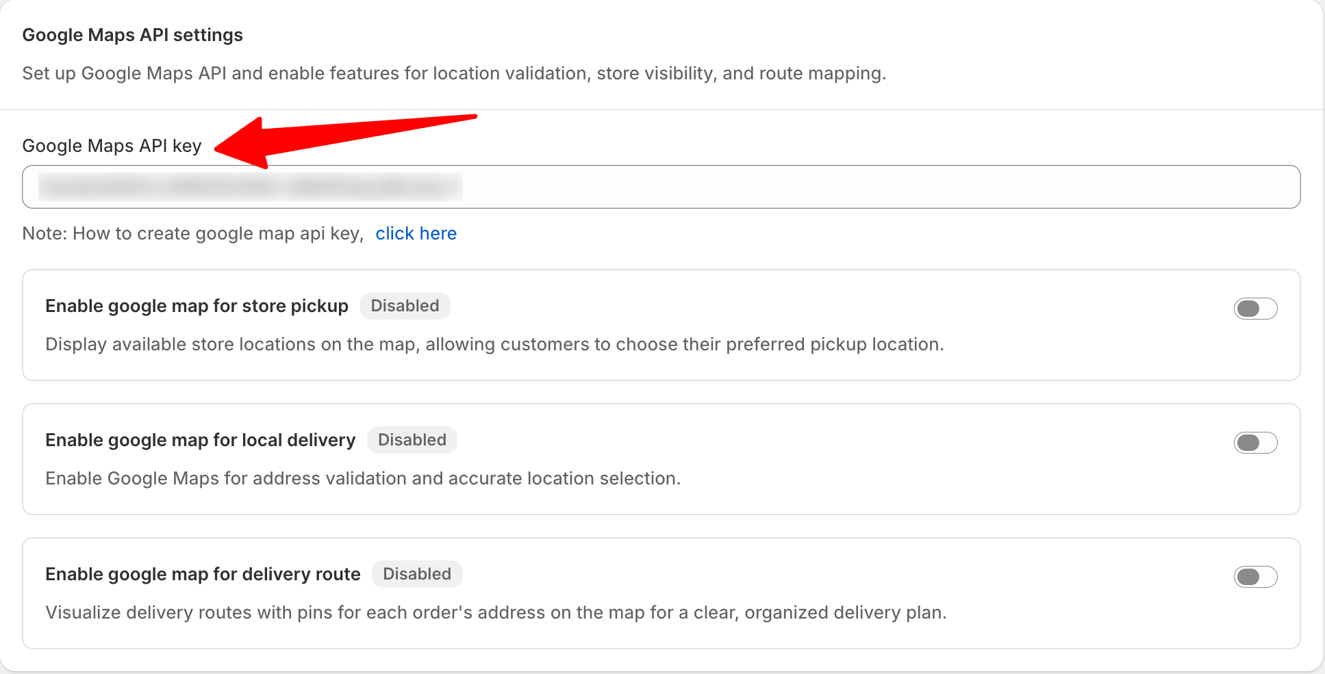
Map features Toggle
With Google Maps integration, you can provide a location-based delivery experience for your customers and staff. Enable Google Maps for store pickup to let customers select a pickup location, use it for local delivery to validate addresses within your delivery area, and enable delivery routes to help drivers navigate orders more efficiently. Configure these options by adding your Google Maps API key and enabling the features you need.
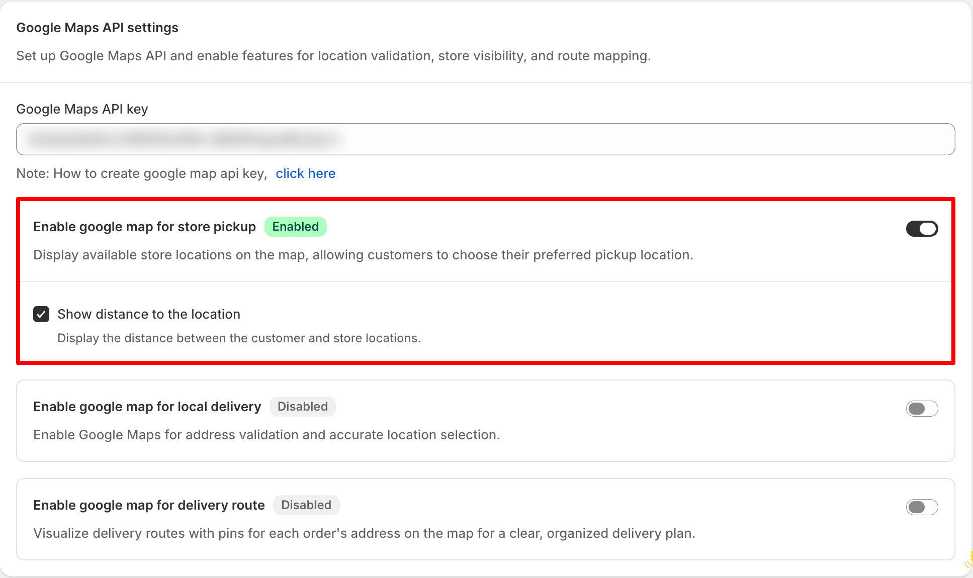
Turn this on to show your store locations on a Google Map during store pickup. If you run more than one store, a customer picking “Store pickup” on the cart page sees each location plotted on the map, making it easy to choose the closest one.
Show distance to the location: Enable this option to display the distance between the customer’s location and each available pickup location on the map. This helps customers compare nearby pickup locations and choose the most convenient one. When disabled, the pickup locations are still displayed, but the distance to each location is hidden.
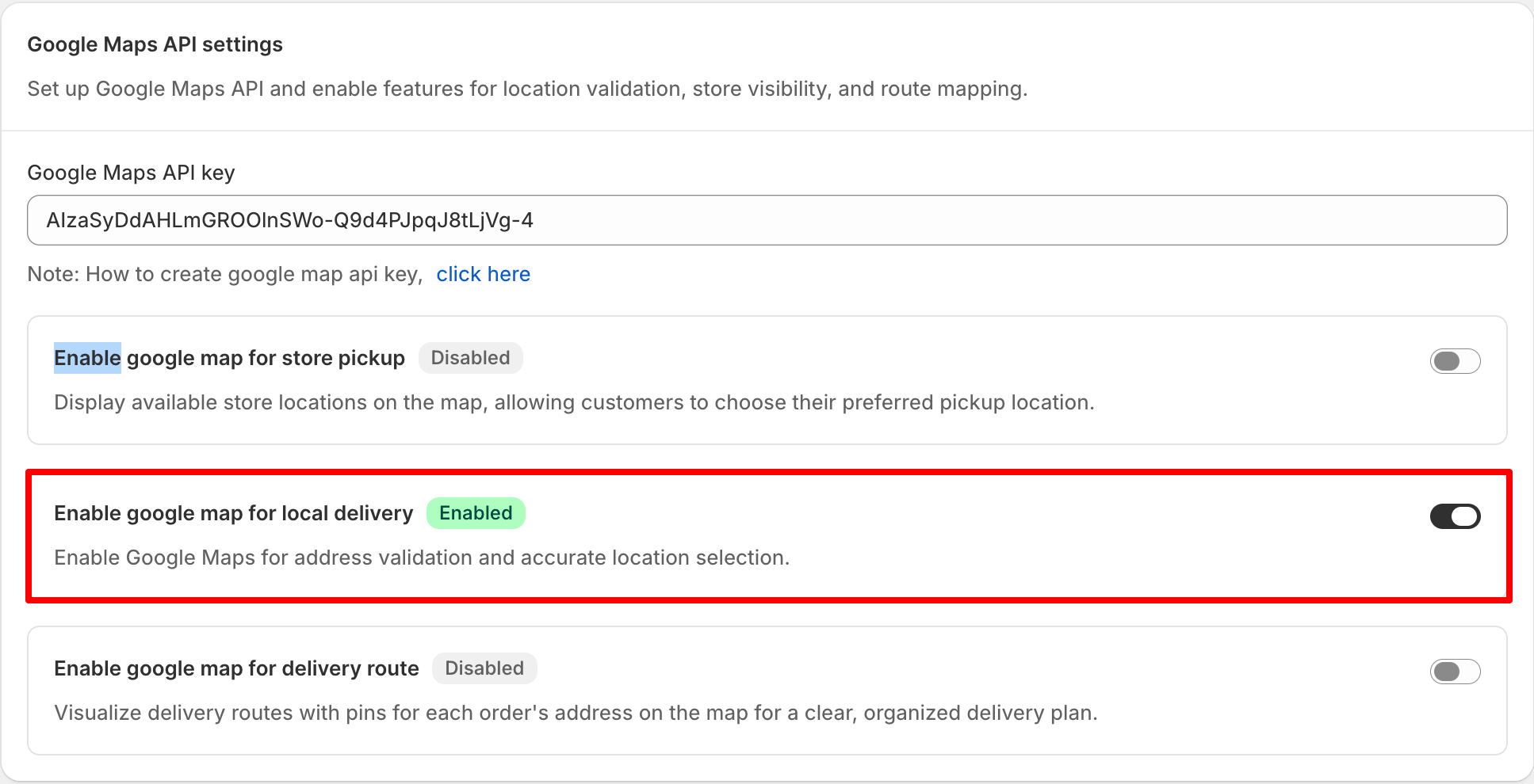
Turn this on to use the delivery radius feature under local delivery. Once enabled, the app checks the postal code a customer enters against the radius you’ve set from your store. For example, if you allow local delivery within 5 km of your store, a customer inside that radius sees available delivery dates and times. A customer outside the 5 km radius sees an error message letting them know their postal code isn’t eligible. Learn more about the delivery radius feature in this article.
Turn this on to power the delivery route feature, where you can map out all your orders into a route and hand it straight to your driver. Learn more about the delivery route feature in this article.